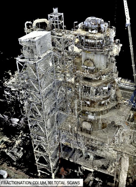
Laser Scanning
To create a high definition, digital point cloud twin of as-built site conditions; Shillong Design uses a combination of high-definition Laser Scanners and traditional survey instruments and principals to deliver accurate and precise fit for purpose 3D spatial information.
- Provides the user with unfiltered, precise spatial information on existing site conditions, allowing for decisions to be made based on the site context while reducing personnel needs to visit site.
- The volume, resolution and accuracy of data captured using Laser scanners vastly exceeds what can be captured using tradition survey methodology and manual measurements.
- Laser Scanning is a non-tactile mode of data capture, if we can see it, we can measure it and it is a safer work methodology.


